
Eat
to Live Light
Walk
to Live Light

|
Joanne
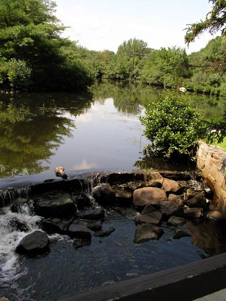
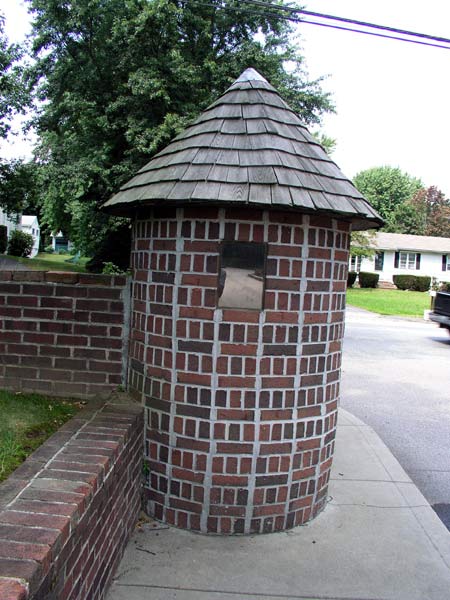
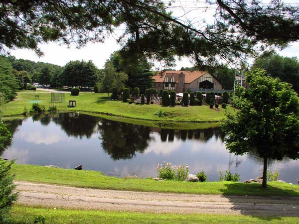
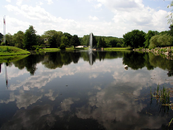
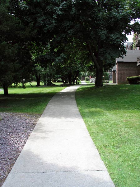
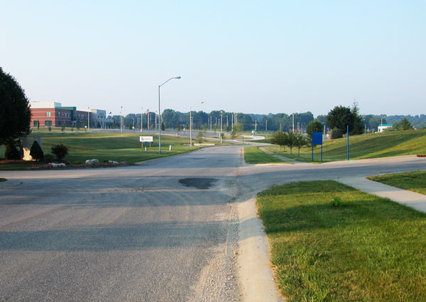
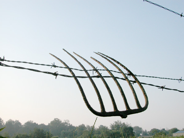
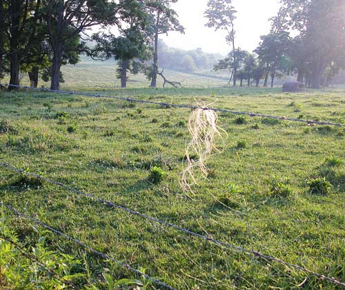
It was very hard to choose which pictures to use to show the walking route, but since it seems to centralize around the ponds and up to what I call the 'kicking post' and back around the ponds and bridges to home, I have included my favorite things to see as I walk. I did not include shots of the loops ( loops that go in from Cedar Pond Drive and then circle around some buildings and then back out again), but do vary which ones I use from time to time, just so that it seems different. Here is the link to my walking page! I have more shots, including one of me reflected in the glass of the 'kicking post', which I also explain on the page! The reason for the reflected photo? Nobody was around at the time to take my picture for me. There is also a directory which shows the varied routes I can walk. |
||||
 |
 |
 |
||
 |
 |
|||
|
Dorothy
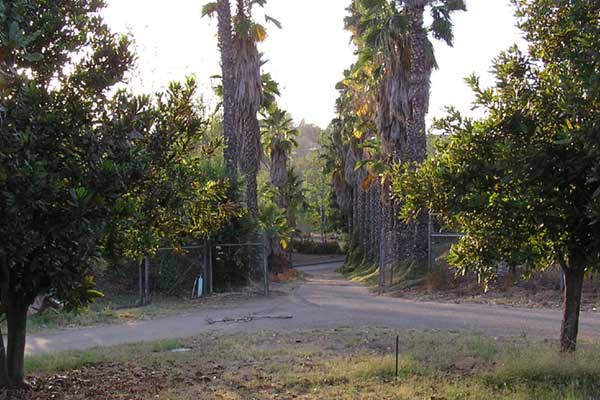
Here are some photos of where I walk. The wide photo is four put together to get the big picture of my drive. The palm lined drive is our way to the road. My dad planted the palms. The center of the old house was the original before additions over the years. This place was basically a shotgun shack to start with. There is a big rock fireplace...roundish rocks that don't look anything fancy....in the oldest part of the house. I took these photos at different times on different days so the lighting is not the same for all three photos. |
|||
 |
 |
||
|
Jeanie
These two panoramas were put together from 4-5 photos each to give an "overview" of where I hike in Horsetooth Mountain Park. I added a dashed red line to show the path of the trail, but because of twists and turns in the trail, there's about 20 minutes of hiking between the two sections of dashed line that's not visible from these views. The arrow shows the end point for my "short hill hike" - about 1.3 miles (one way) and 700 feet of elevation gain. There's another 0.3 miles up to the end point for my "long hill hike", also hidden from this view. |
|||
|
Janee
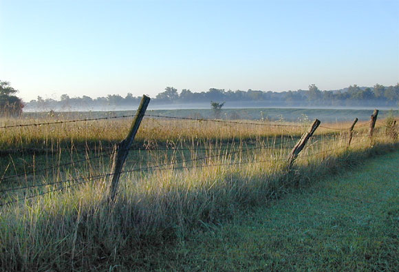
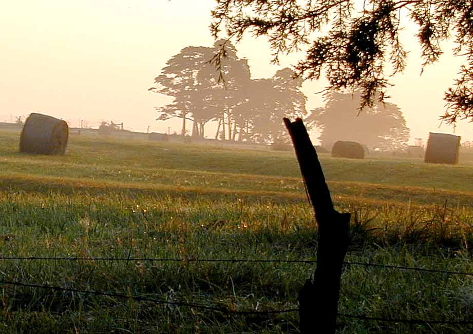
These were taken in the summer/fall near my home near Bloomington, Indiana, USA. |
|||
 |
 |
 |
 |
 |
|||
|
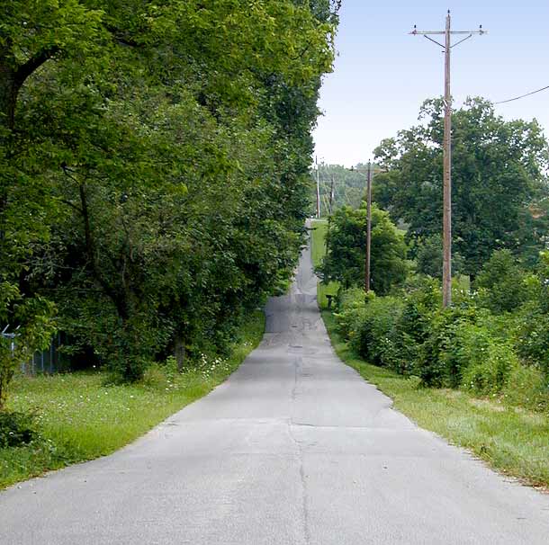
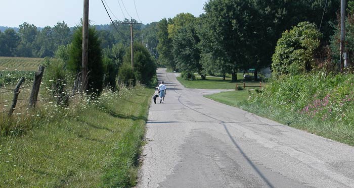
Janee & Michael's Cook Trail:
|
 |
||
 |
 |
||
|
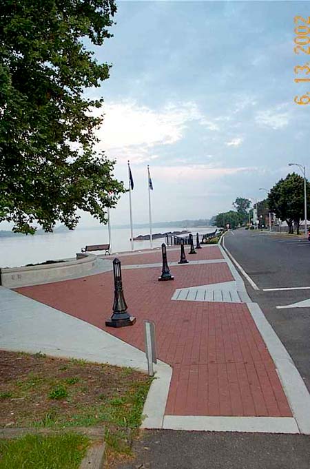
Darlene
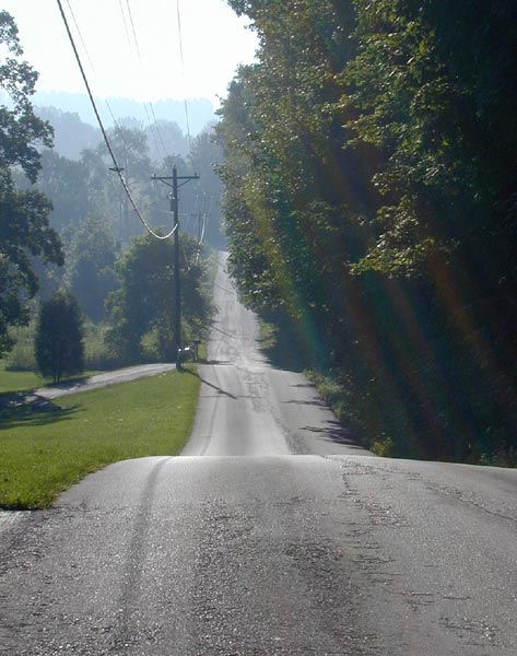
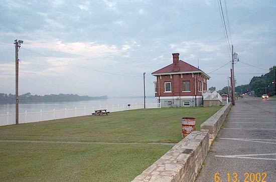
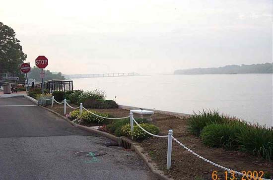
This is my walk along the river. (Southern Indiana, USA) These were taken just after day break before it rained. There was a lot of haze. |
|||
 |
 |
 |
 |
![]()
 We subscribe to the HONcode principles
of the Health On the Net Foundation
This page was last updated today or very recently. :Þ
Questions or comments or just want to say hi? Contact the webslave at janee@myjanee.com
©1999-2003 by Janee Aronoff, may not be reprinted without permission, except for your own personal use or for your friends. Printing for any commercial purposes whatsoever requires the permission of the copyright holder.
This author does not purport to be a nutritionist or expert in this field. The author has consulted with a physician who verifies this material to be medically and scientifically sound. Consider talking to your physician before beginning any sort of weight loss or exercise program. Web space for this site is paid for by the site owner and author. The author maintains this site and is not monetarily compensated in any way for this.